Munich neighborhoods overview: a map of the city's distinct districts
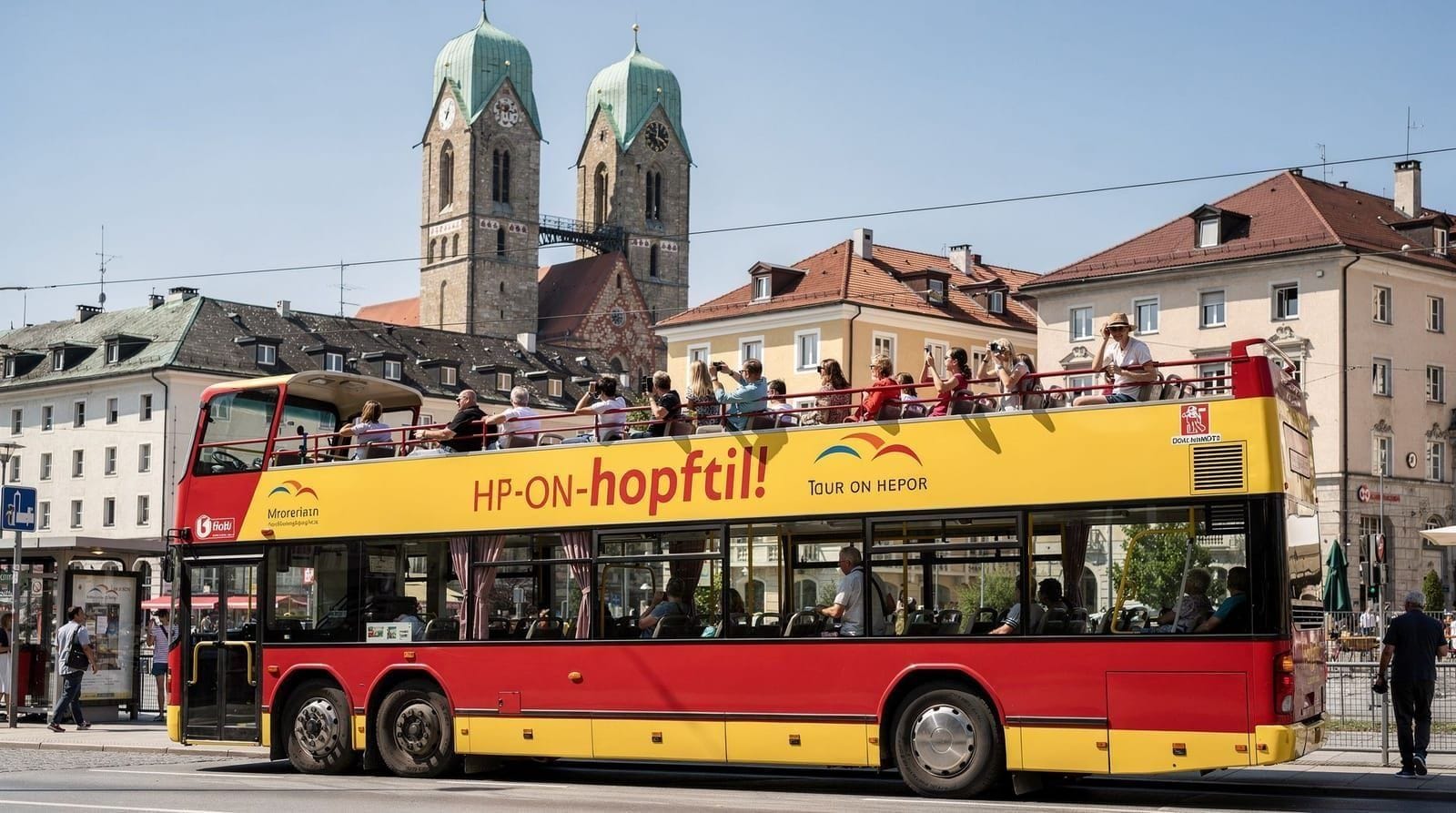
Munich: hop-on hop-off sightseeing tour 1-day or 2-day ticket
How is Munich divided into neighborhoods and which ones matter for visitors?
Munich's districts are defined by history and function. For visitors, the key areas are: Altstadt (tourist core, Marienplatz), Maxvorstadt (museum quarter, Kunstareal), Schwabing (bohemian history, English Garden edge, upscale cafes), Glockenbachviertel (LGBTQ+ scene, Gärtnerplatz, best local nightlife), Au-Haidhausen (east bank local neighbourhood, good value), Neuhausen-Nymphenburg (residential, Nymphenburg Palace). The Olympiapark and Bogenhausen are further out. Public transport connects all of them reliably.
Munich’s city structure: how it’s organised
Munich is a radial city built outward from a medieval core. The Altstadt (old town) sits at the centre, defined by the ring road that traces the medieval walls. Successive rings of expansion added the 19th-century Gründerzeit districts (Schwabing, Maxvorstadt, Haidhausen, Glockenbach) in the mid-to-late 1800s, then the outer residential and industrial suburbs through the 20th century.
The practical visitor’s mental map needs only about seven or eight districts. The hop-on hop-off bus covers the main ones; the U-Bahn and S-Bahn connect them efficiently. Understanding how the districts relate to each other — which are adjacent, which require a train, what each one actually offers — is more useful than memorising the formal administrative geography. Munich hop-on hop-off bus — the practical way to orient yourself across neighborhoods
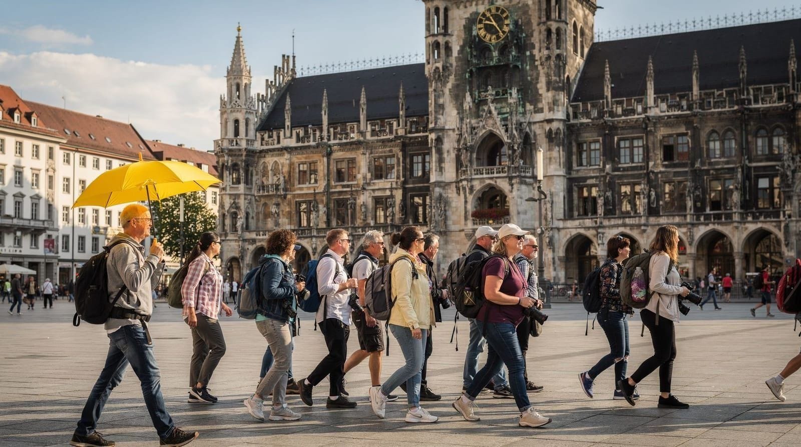
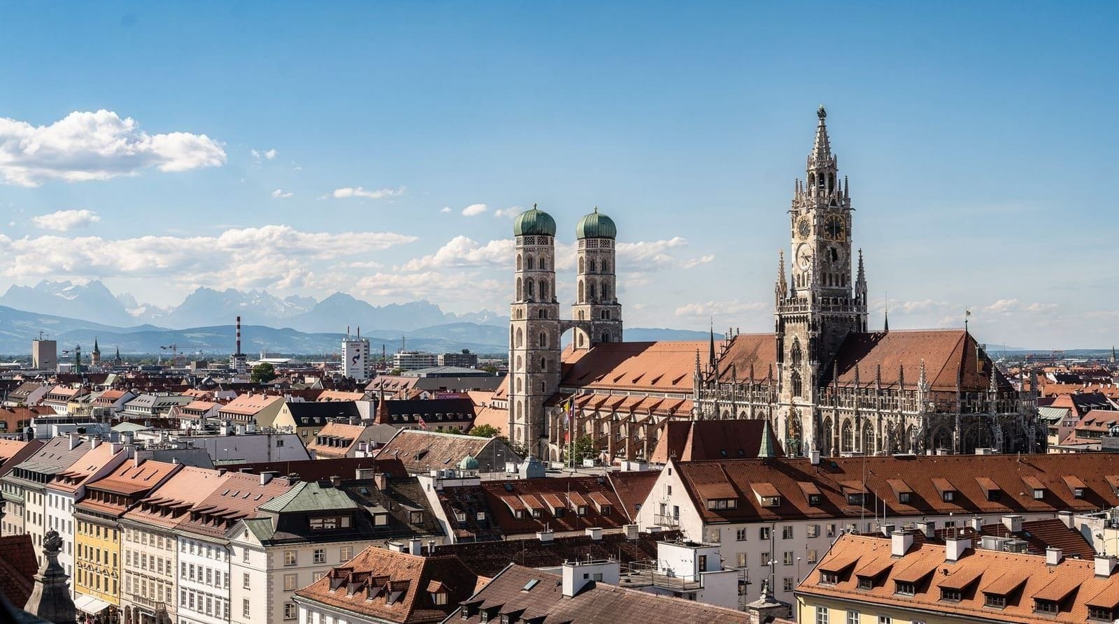
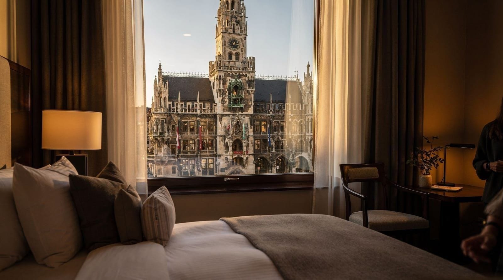
The Altstadt: tourist core and historic heart
The Altstadt is where Munich began and remains where most visitors spend the majority of their time. It contains Marienplatz (the city’s central square and the most-photographed location in Munich), the Frauenkirche, the Munich Residenz, Viktualienmarkt and the Hofbräuhaus. It is the most polished, tourist-oriented and expensive part of the city for food and accommodation.
The Altstadt is efficient for sightseeing but not representative of how Munich residents live. For a full account of the area, see the Munich Altstadt guide.
Getting there: S-Bahn or U3/U6 to Marienplatz. All S-Bahn lines stop there. Walking distance from the Hauptbahnhof is 15 minutes.
Maxvorstadt: museums and university
Directly north of the Altstadt, Maxvorstadt is the museum quarter — home to the Kunstareal (Alte Pinakothek, Pinakothek der Moderne, Museum Brandhorst, Lenbachhaus, Glyptothek). It is also home to the Ludwig-Maximilians-Universität (LMU), giving it a student and academic character.
Maxvorstadt is the right place to base yourself if museums are your primary interest. Königsplatz — Munich’s neoclassical forum — is here, as are the buildings that served as Nazi party headquarters in the 1930s–1940s.
Getting there: U2 to Königsplatz or Theresienstrasse; U3/U6 to Universität. Tram 27.
Detailed coverage: Maxvorstadt guide.
Schwabing: bohemian reputation, upscale reality
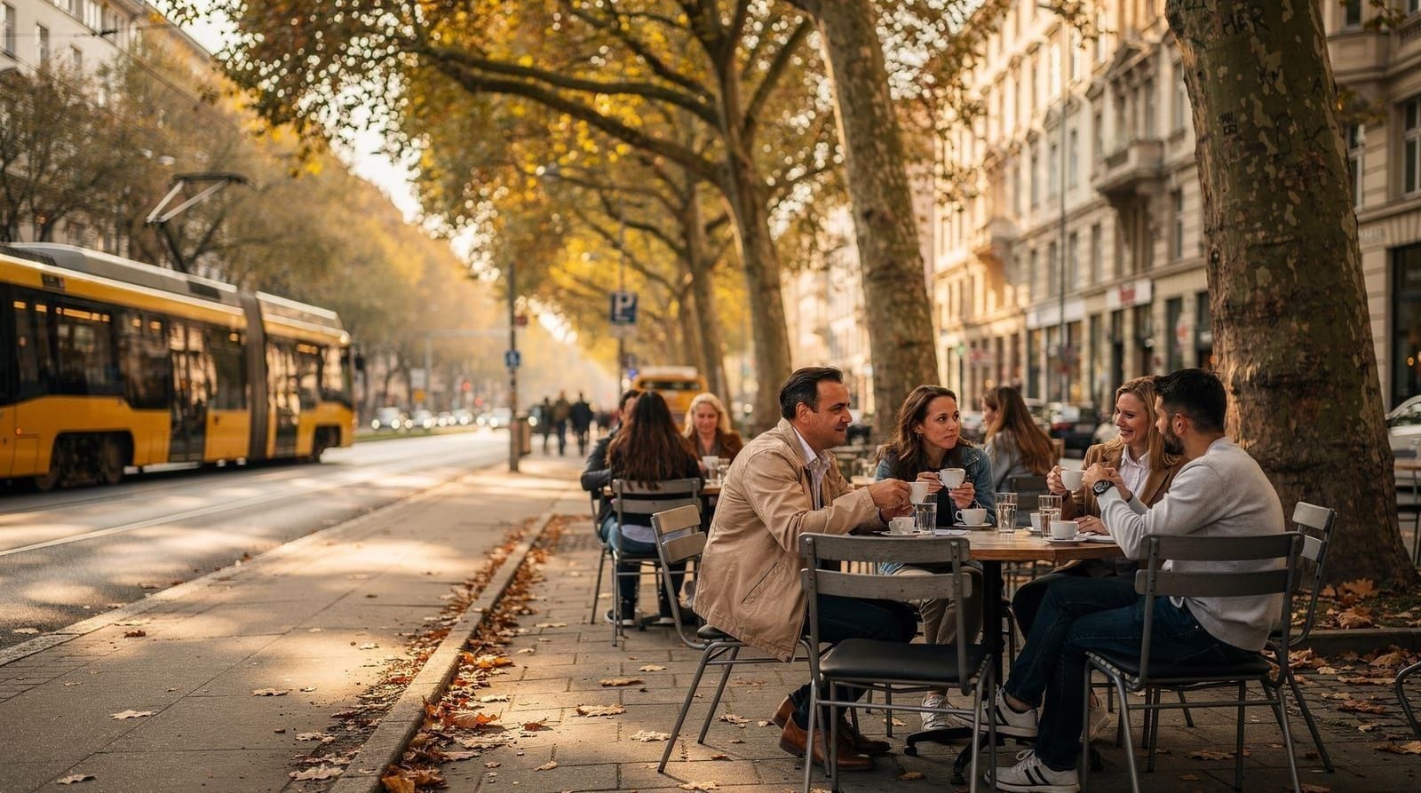
Schwabing sits north of Maxvorstadt, running up to the Englischer Garten’s western edge. Its historical identity — Kandinsky, Thomas Mann, early-20th-century bohemian culture — is well-documented. Its current identity is upscale residential: good restaurants and cafés on Leopoldstrasse, mature plane trees, proximity to the English Garden.
Schwabing is one of Munich’s more expensive neighbourhoods for accommodation. It rewards visitors staying multiple nights who want a neighbourhood-base experience rather than a hotel in the tourist zone.
Getting there: U3/U6 to Münchner Freiheit or Giselastrasse. Journey from Marienplatz: 10 minutes.
Detailed coverage: Schwabing neighborhood guide.
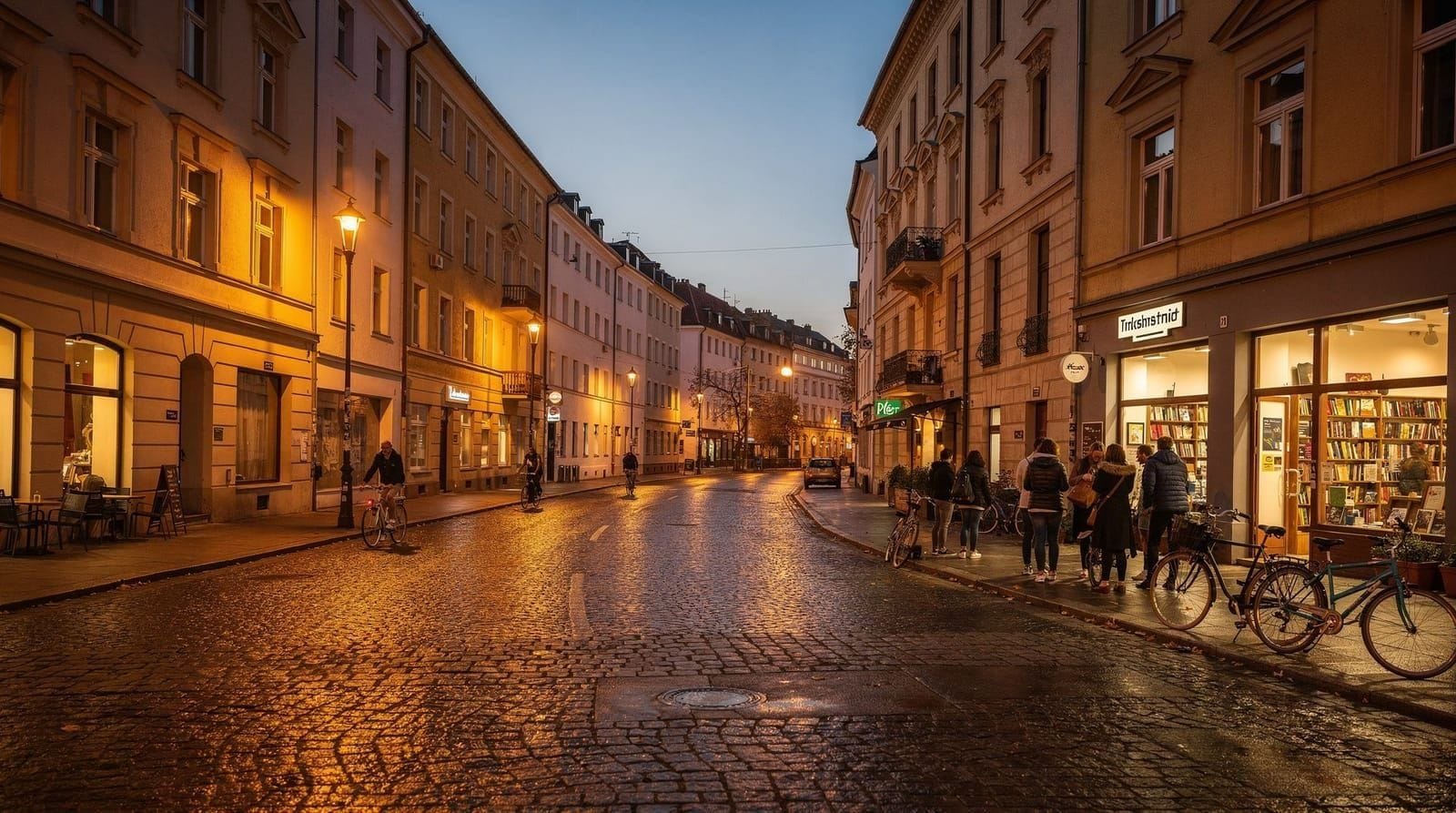
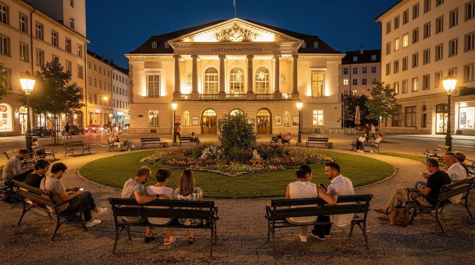
Glockenbachviertel: local character, central location
The Glockenbachviertel (or “Glockenbach”) is immediately south of the Altstadt, within walking distance of Marienplatz. It is Munich’s most interesting neighbourhood for independent travellers — LGBTQ+ scene, independent bars and restaurants, Gärtnerplatz as an informal public social space, and the Müllersches Volksbad art nouveau bathhouse.
The Glockenbach is the best answer to “where should I go for a local evening in Munich” that is also close to the main sights.
Getting there: U1/U2/U3/U6 to Sendlinger Tor (north edge) or U1/U2 to Fraunhoferstrasse (centre). Walk from Marienplatz: 15 minutes.
Detailed coverage: Glockenbachviertel guide.
Au-Haidhausen: east bank, local and underrated
Au-Haidhausen occupies the east bank of the Isar, 2 kilometres from the Altstadt. It is the least tourist-facing of Munich’s central residential neighbourhoods — genuine local market on Wiener Platz, good independent restaurants, Isar river beach access, the Gasteig cultural centre, and proximity to the Deutsches Museum.
Au-Haidhausen offers better value for accommodation than comparable Schwabing options and a neighbourhood character that is hard to find in cities of Munich’s size.
Getting there: S-Bahn to Rosenheimer Platz or Ostbahnhof. Walk from Isartor (east Altstadt): 10 minutes across the Ludwigsbrücke.
Detailed coverage: Au-Haidhausen guide. Munich private local guide — neighborhood tours with insider knowledge
Neuhausen-Nymphenburg: western residential
Neuhausen-Nymphenburg is the large residential district to the west of the city centre, most relevant to visitors for two reasons: Nymphenburg Palace and Park, and the Olympiapark.
Nymphenburg Palace is the Wittelsbach summer residence — a long baroque palace with an enormous park (200 hectares), several garden pavilions, a canal and a carriage museum. It is the main sight in this part of Munich and worth a half-day visit. See the Nymphenburg Palace guide for what to see.
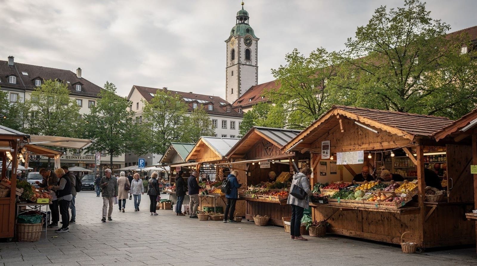
Rotkreuzplatz is the neighbourhood’s local centre — a pleasant square with a weekend market and local cafés, representative of Munich’s residential character outside the tourist zone.
Getting there: Tram 17 to Nymphenburg Schloss; U1 to Rotkreuzplatz or U2 to Westfriedhof for the residential area.
The Olympiapark area
The Olympiapark (Olympic Park) occupies a large site in northwest Munich, built for the 1972 Summer Olympics. It now functions as a concert and events venue (the Olympiastadion still hosts major concerts), a recreational park with a lake and extensive running/cycling paths, and the Olympic Tower (Olympiaturm) observation deck.
The BMW Welt and BMW Museum are adjacent to the Olympiapark — both on the same site, connected to BMW’s Munich plant. They are worth visiting for anyone interested in automotive design history. See the BMW Welt museum guide for entry details.
Getting there: U3 to Olympiazentrum. Journey from Marienplatz: 20 minutes.
Bogenhausen: quiet affluence and the Villa Stuck
Bogenhausen is east of the English Garden and the Isar, a quiet residential district known for its art nouveau villas and embassies. For visitors, the main draw is the Villa Stuck (Prinzregentenstrasse 60) — the studio-house of the Symbolist painter Franz von Stuck, now a museum with a permanent collection and changing exhibitions. The building itself (1898) is an extraordinary example of Jugendstil (Art Nouveau) architecture and interior design.
The Prinzregentenstrasse museum axis — running east from the Isar through Bogenhausen — also has the Haus der Kunst (contemporary art, at the southern English Garden entrance) and the Bayerisches Nationalmuseum (Bavarian cultural history). See the Munich best attractions guide for a concise overview.
Getting there: Bus 100 (art museum line) runs the length of Prinzregentenstrasse.
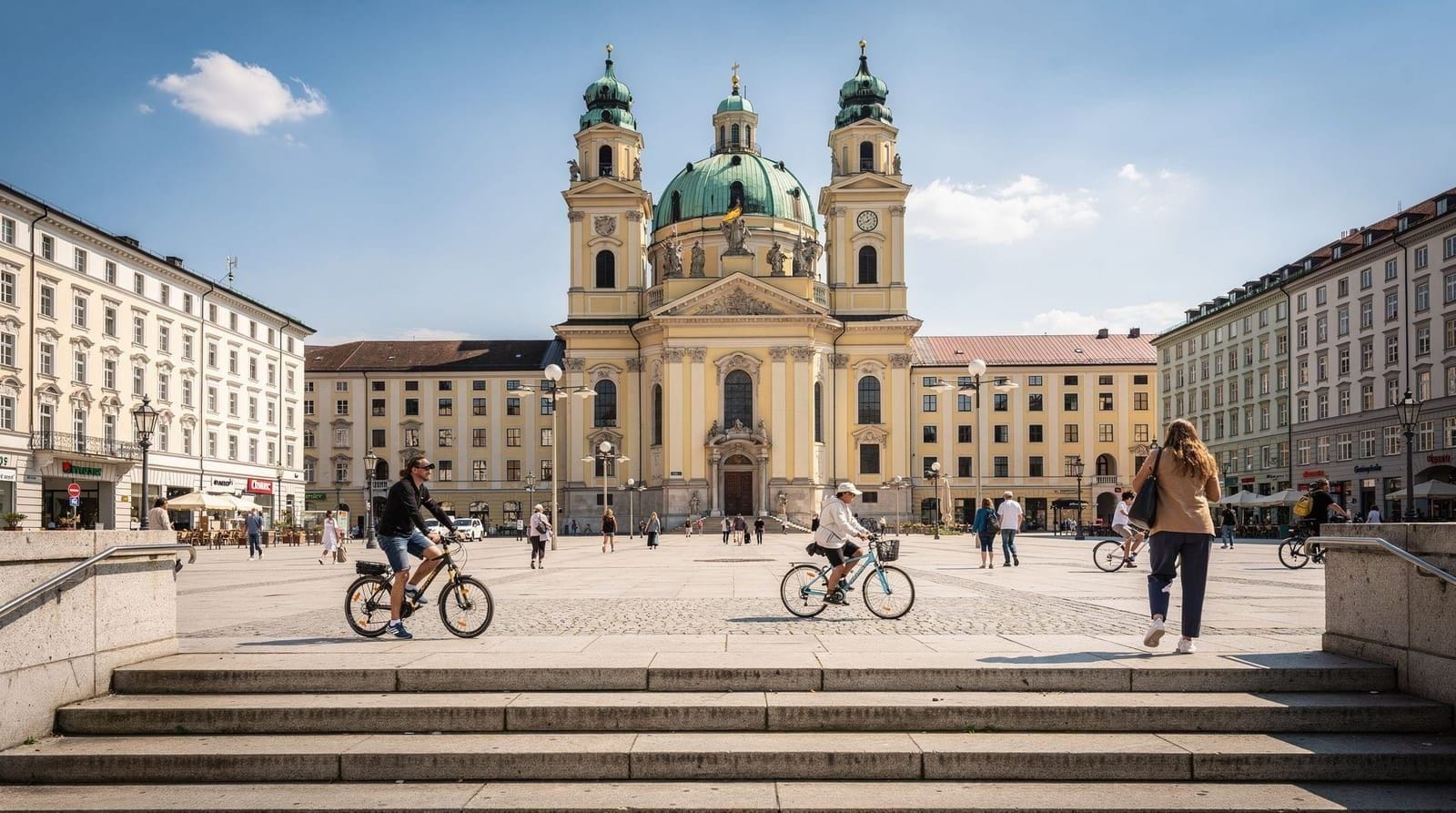
Lehel: between the Altstadt and the English Garden
Lehel is a small, quiet district between the Altstadt and the English Garden, bounded by Maximilianstrasse to the south and Prinzregentenstrasse to the north. It is primarily residential and upper-middle-class in character. The Haus der Kunst (at the English Garden boundary), the Bavarian State Opera building complex and several foreign consulates are in Lehel or on its borders.
For visitors, Lehel is most relevant as a quiet, well-located alternative to Altstadt hotels — close to Marienplatz (10-minute walk) and to the English Garden (5-minute walk). Several mid-range and upper-mid-range hotels serve the area.
Understanding Munich’s districts: practical summary
| District | Character | Best for | Altstadt distance |
|---|---|---|---|
| Altstadt | Tourist core | First visit, short stays | — |
| Maxvorstadt | Museums, university | Art-focused visitors | 20 min walk |
| Schwabing | Upscale, English Garden | Longer stays, local feel | 10 min U-Bahn |
| Glockenbach | LGBTQ+, bars, local | Evening culture | 15 min walk |
| Au-Haidhausen | Value, Isar, local | Independent travellers | 20 min walk |
| Neuhausen-Nymphenburg | Residential, Palace | Nymphenburg, families | 20 min tram |
| Olympiapark | Events, BMW | BMW, concerts | 20 min U-Bahn |
| Bogenhausen | Quiet, affluent, villas | Villa Stuck, art axis | 15 min bus |
Munich’s outer districts: day-trip range
Several Munich districts are worth knowing about as destinations within the city rather than tourist areas:
Schwabing-West and Olympiadorf: The area around the Olympic Village (built for athlete accommodation in 1972) is now a residential neighbourhood with a persistent co-operative and alternative character. The Olympic Village itself (Nadistrasse, Connollystrasse) has regular Sundays open to the public when the grounds are accessible.
Harlaching and Solln: Southern residential suburbs with traditional character, the Isar south park and the Harlaching Hospital (Art Nouveau complex). Not tourist destinations but representative of Munich outside its centre.
Trudering-Riem: East Munich, including the former Riem airport site (now the Messestadt Riem exhibition centre and a large park). The Riemer Park is one of Munich’s better landscape parks for cycling and walking but requires significant transit time from the centre.
Understanding how Munich expanded: a brief history
Munich’s ring-and-spoke urban form reflects its historical growth pattern. The medieval city (Altstadt) was bounded by the wall that the Altstadtring now traces. The first expansion, the Maxvorstadt, was planned under Crown Prince Ludwig (later Ludwig I) from the 1810s as a neoclassical civic district — the Kunstareal and Königsplatz were his projects.
The Gründerzeit (foundation era, 1870s–1900s) brought the major residential expansions: Schwabing, Haidhausen, Au and the Glockenbachviertel were all built out during this period as housing for Munich’s growing middle class and working population. The street grid and building fabric of these areas — wide streets, four-to-five-story apartment buildings, corner cafés — is consistently late-19th-century in character.
The 20th century brought the outer suburbs: the Olympiapark area was farmland until the early 20th century, substantially built out in the 1920s–1950s and then fundamentally reshaped by the 1972 Olympics. The Messestadt Riem replaced the old airport in the 2000s. Munich continues expanding eastward and northward, but for visitor purposes the relevant city is the 19th-century core.
The Isar as a structural axis
The Isar river runs north-south through Munich, dividing the city into west (where the Altstadt and most tourist attractions sit) and east (Au-Haidhausen, Bogenhausen, the eastern suburbs). The river was significantly naturalised between 2000 and 2011 — engineered concrete banks replaced with gravel and natural vegetation — creating the Isar beaches that are now heavily used in summer.
The main crossings relevant to visitors: Ludwigsbrücke (Isartor to Au-Haidhausen), Maximiliansbrücke (Maximilianstrasse to Bogenhausen), Wittelsbacherbrücke (Glockenbachviertel to Au south). The Deutsches Museum occupies an island in the Isar and is accessible from both banks.
The Isar also defines Munich’s southern leisure zone: cycling south from the city centre along the river paths leads through the English Garden (west bank) and the Isarauen (east bank meadows) for 20+ kilometres of riverside paths into the rural zone south of the city.
How Munich compares to other German cities as a destination
Munich is often discussed alongside Berlin and Hamburg as Germany’s major tourist destinations. The practical differences matter for planning:
Berlin is larger, cheaper, more architecturally fragmented (due to division and bombing), with a stronger contemporary arts and nightlife scene. Munich is more expensive, more coherent as a city landscape, with better access to natural scenery (Alps 1 hour south) and a more concentrated historic centre.
Hamburg is a port city with a very different maritime character. Munich is an inland city with a distinctly Bavarian identity — Catholic, traditionally conservative, strongly local-culture-oriented (beer, football, opera). The two cities’ characters are complementary rather than substitutable.
For museum quality per square kilometre, Munich’s Kunstareal is arguably Germany’s best — the Alte Pinakothek, Neue Pinakothek (when reopened), Pinakothek der Moderne and Museum Brandhorst represent a museum density that requires similar walking distances in Berlin or London but across multiple districts.
Frequently asked questions about Munich neighborhoods
Which Munich neighborhood is safest?
Munich is one of Germany’s safest large cities and all the central districts described here are safe by any reasonable European standard. The single area with the most visible public disorder is the Bahnhofsviertel (around the Hauptbahnhof) due to concentrated street prostitution and visible drug activity, primarily at night. The Glockenbachviertel, Schwabing, Maxvorstadt and Au-Haidhausen have negligible safety concerns for normal visitors.
What is the Isarvorstadt and how does it relate to the Glockenbachviertel?
The Isarvorstadt is the formal administrative designation for the district that includes both the Glockenbachviertel and the Dreimühlenviertel to its south. The Glockenbachviertel is the northern, more socially prominent section of Isarvorstadt. In practice, “Glockenbachviertel” and “Gärtnerplatzviertel” are the names locals use for different sub-sections of the same administrative district.
Can I walk between all the main neighborhoods?
The inner-ring neighbourhoods (Altstadt, Maxvorstadt, Schwabing south, Glockenbachviertel) are mutually walkable at 20–40 minutes between furthest points. Schwabing north (Münchner Freiheit) to Marienplatz is a 45–50 minute walk. Au-Haidhausen from Marienplatz is 20 minutes. Neuhausen-Nymphenburg and the Olympiapark require public transport from the Altstadt (20+ minutes each).
Is there a neighborhood map of Munich available?
The Munich Tourism Board (muenchen.de) produces printed and digital maps that include district boundaries. Google Maps correctly labels the main districts. The S-Bahn and U-Bahn system maps show the transit connections across districts. The MVV (Munich transport authority) journey planner at mvv-muenchen.de covers all connections.
Which neighborhoods change most during Oktoberfest?
The Theresienwiese and Ludwigsvorstadt (directly adjacent to the Oktoberfest grounds) change most dramatically — from quiet residential to one of the world’s most concentrated event atmospheres. The entire inner city sees elevated visitor numbers, but the transformation is most extreme near the Wiesn. The Oktoberfest guide covers the logistics in full.
Top experiences
Bookable activities with verified prices and instant confirmation on GetYourGuide.